Mapping Alaska
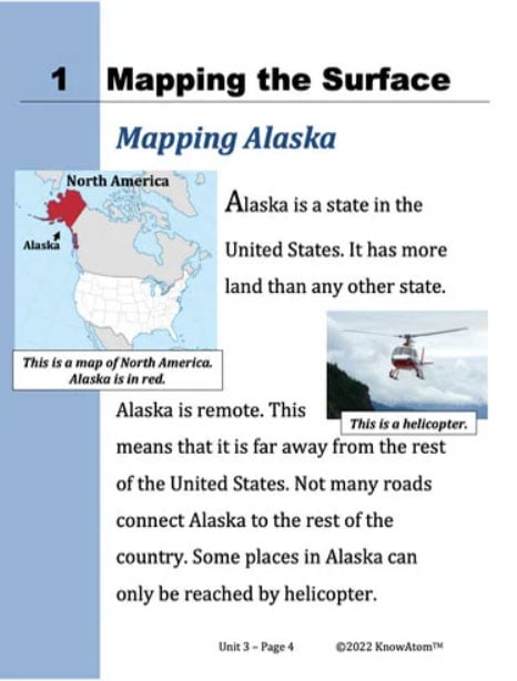
Alaska is a state in the United States. It has more land than any other state.
Alaska is remote. This means that it is far away from the rest of the United States. Not many roads connect Alaska to the rest of the country. Some places in Alaska can only be reached by helicopter.
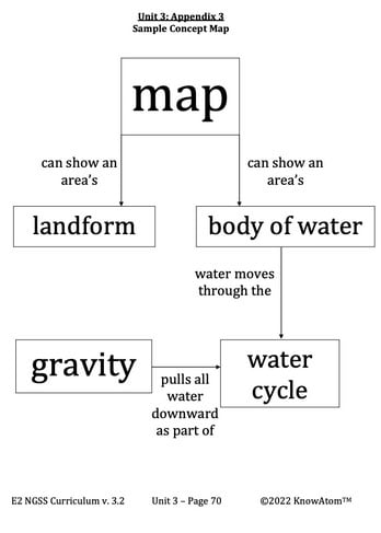
It is hard to make accurate maps of Alaska because it is so remote. A map is a drawing or other model of an area of Earth’s surface. Maps are important because they give different kinds of information about a location.
There are different kinds of maps. One kind of map shows the landforms of a specific area. A landform is a natural feature on Earth’s surface.
Mountains are landforms. Dunes are landforms. Hills and valleys are also landforms.
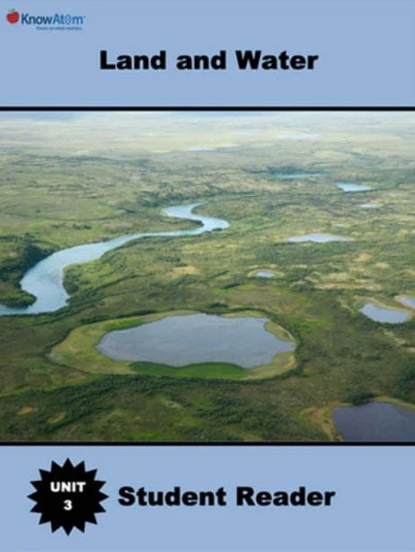
In addition to landforms, there are also different bodies of water on Earth’s surface. A body of water is a part of Earth’s surface that is filled with water.


