Obtain information to identify where water is found on Earth and that it can be solid or liquid.

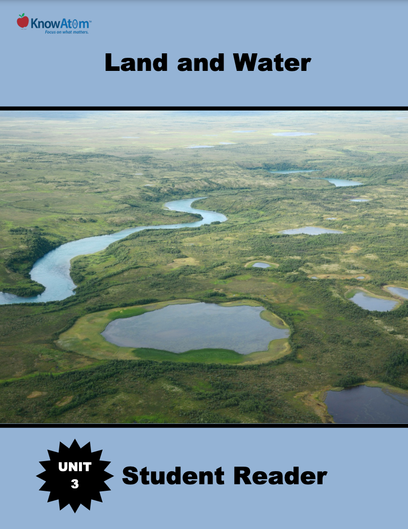
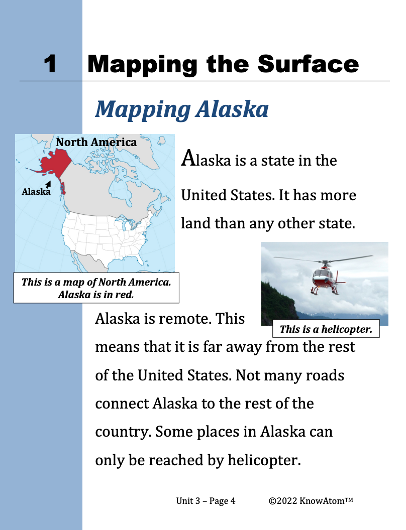
In the last unit, students explored how weathering and erosion change Earth materials, and then designed an engineering solution that reduces erosion. In this unit, students are introduced to the science phenomena of landforms on Earth’s surface, exploring how scientists use maps to represent the shapes and kinds of land and water on Earth’s surface.

In this unit, students explore the phenomena of Earth landforms and the water cycle. Once students have modeled landforms and created maps showing the shapes and kinds of land and bodies of water, students analyze how water moves over the land as it flows downhill because of gravity and cycles between solid and liquid depending on the amount of heat present.
Standards citation: NGSS Lead States. 2013. Next Generation Science Standards: For States, By States. Washington, DC: The National Academies Press. Neither WestEd nor the lead states and partners that developed the Next Generation Science Standards were involved in the production of this product, and do not endorse it.
